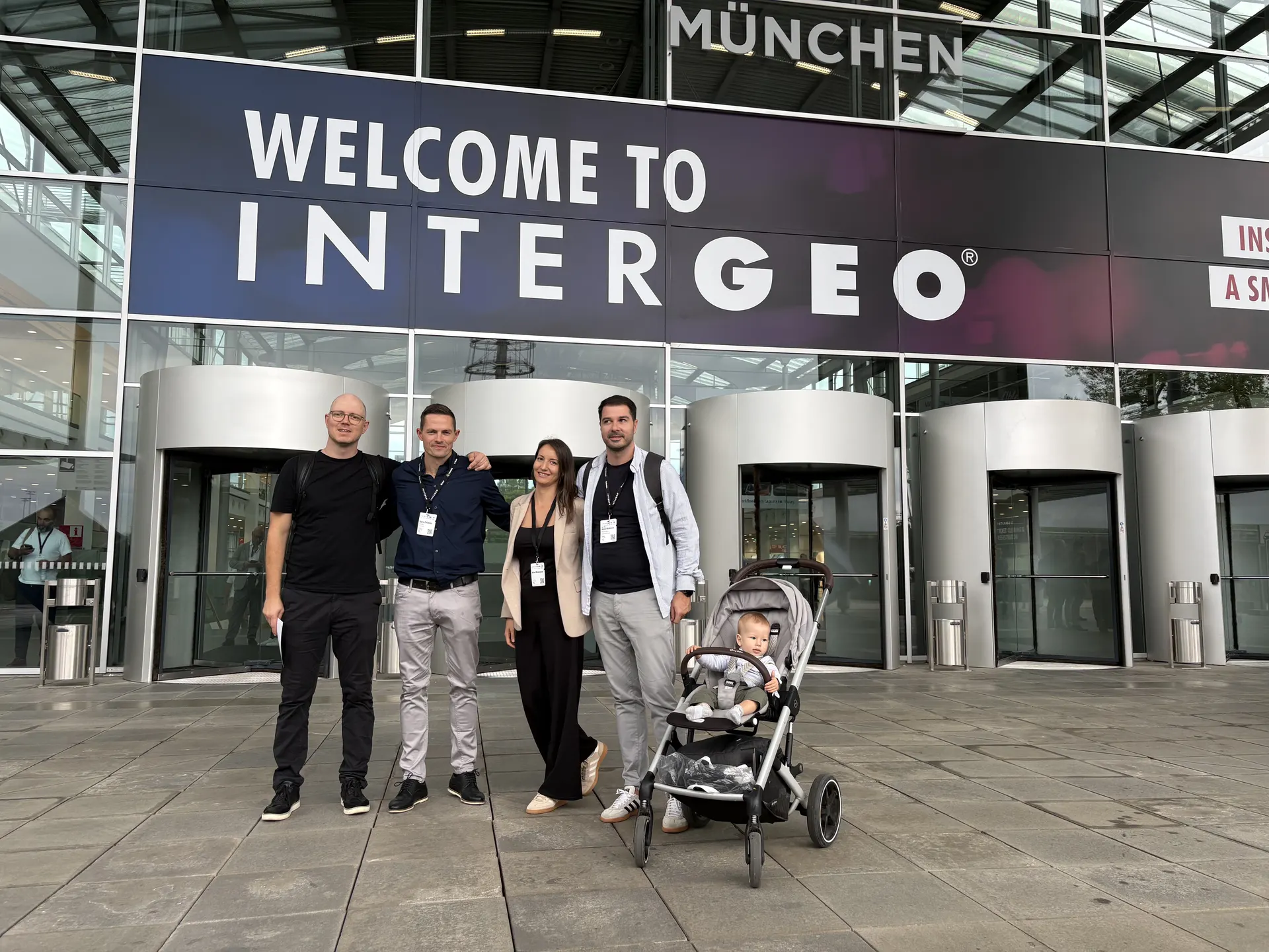
INTERGEO 2026 is the world’s leading trade fair for geodesy, geoinformation, and 3D reality capture. This year it ran 15–17 September at Messe München. Norrpoint was there — to see the next generation of LiDAR scanners, 3D scanning, and field workflows, and to talk with teams specifying survey work in the Nordics.
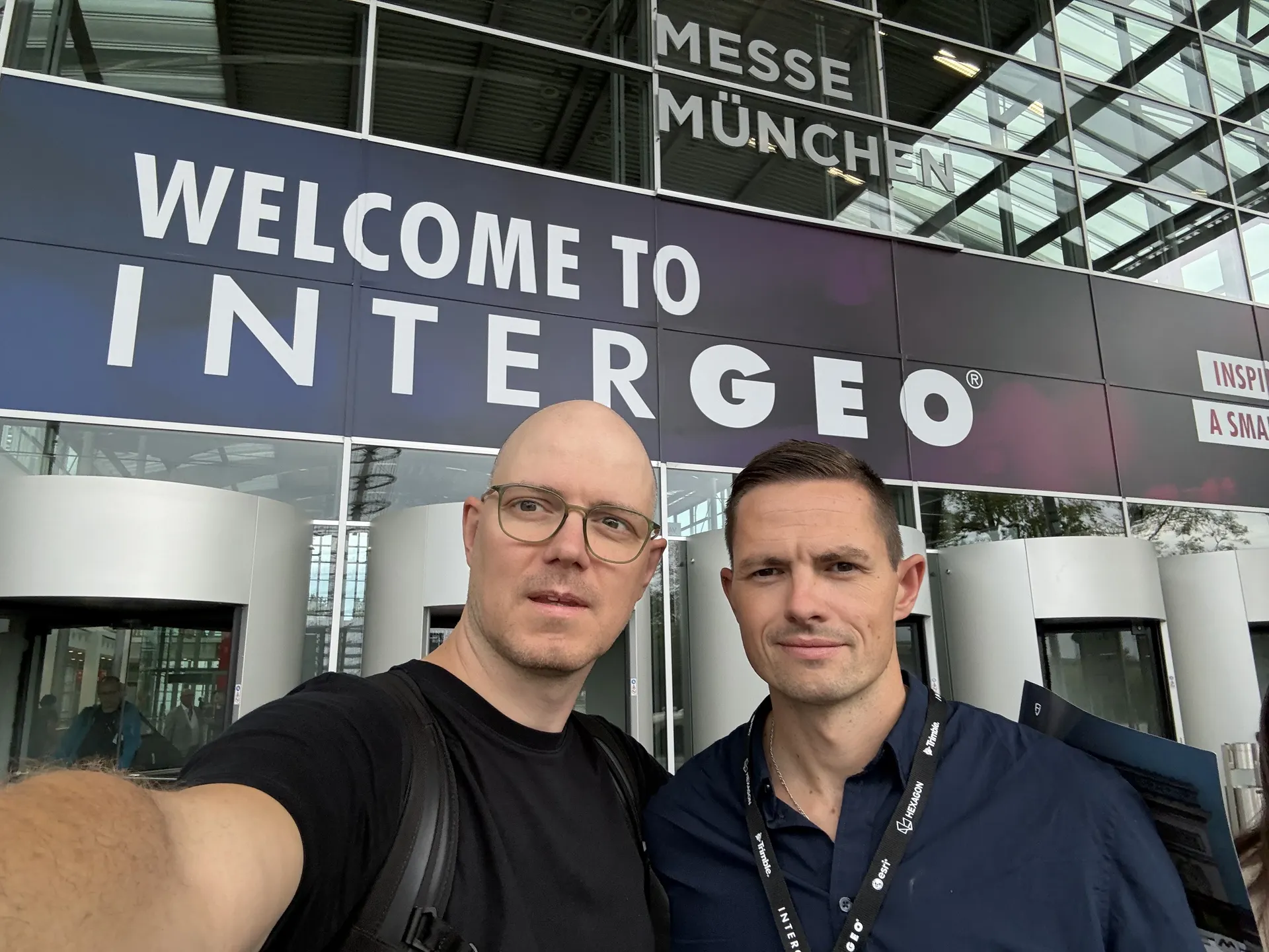
INTERGEO 2026 at Messe München
Scanning, GIS, BIM, drones, and geospatial AI shared halls B5, B6, C5, and C6 for three days. For survey, construction, and infrastructure teams, INTERGEO is where point clouds, SLAM, RTK, and scan-to-BIM are discussed from field data — not brochures.
Norrpoint supplies FJDynamics Trion LiDAR scanners in Sweden. We were in Munich to see what is actually in use, and to help teams that already scan — or are about to start — specify the right configuration for the job.
FJDynamics LiDAR scanners on the show floor
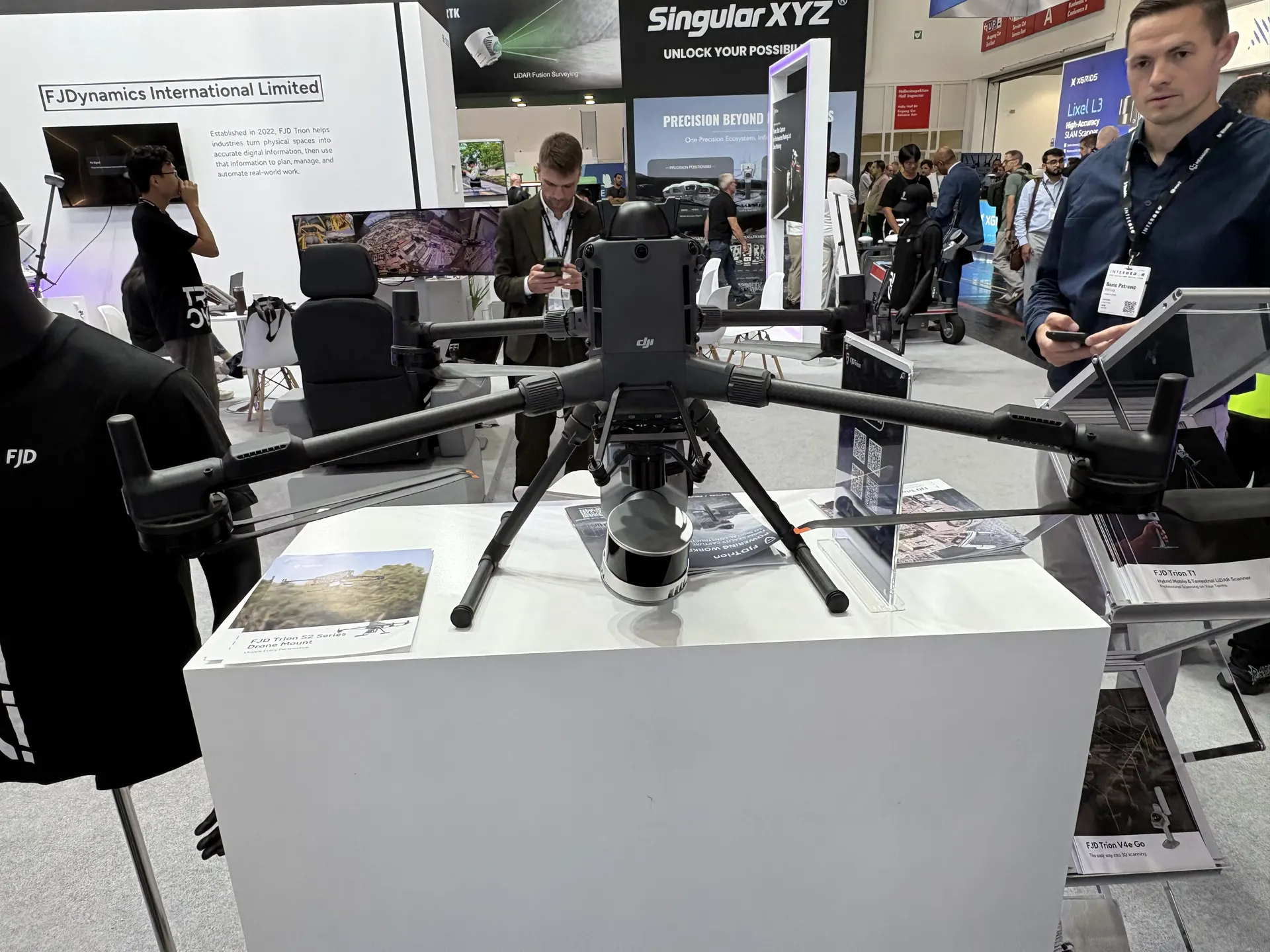
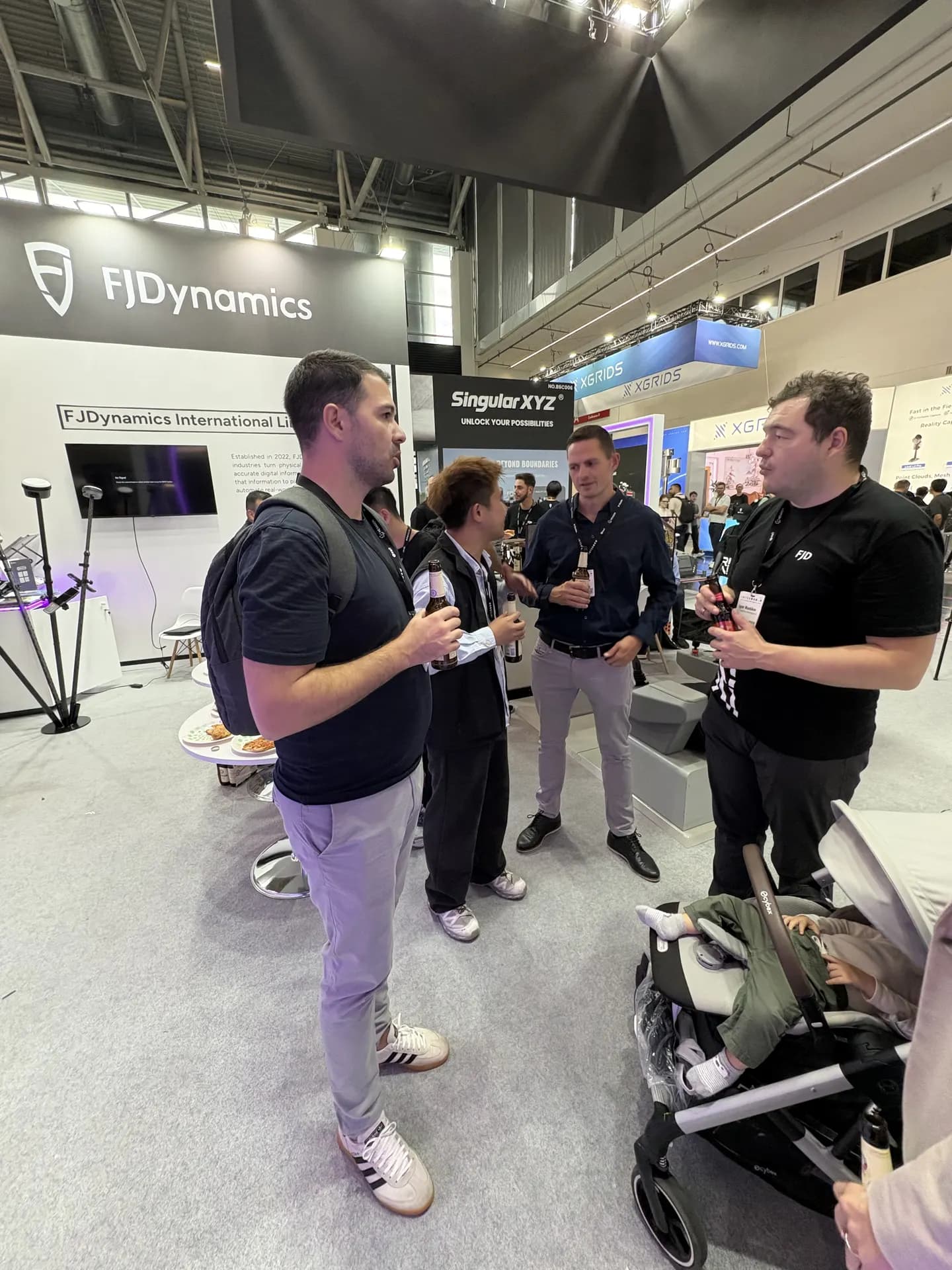
FJDynamics showed the Trion platform in several mounts: handheld LiDAR, tripod, and UAV. On the floor that included the FJD Trion S2 in a drone mount — the same LiDAR line we deliver for interiors, infrastructure, forestry, and longer range in the Nordics.
Handheld 3D scanners and SLAM
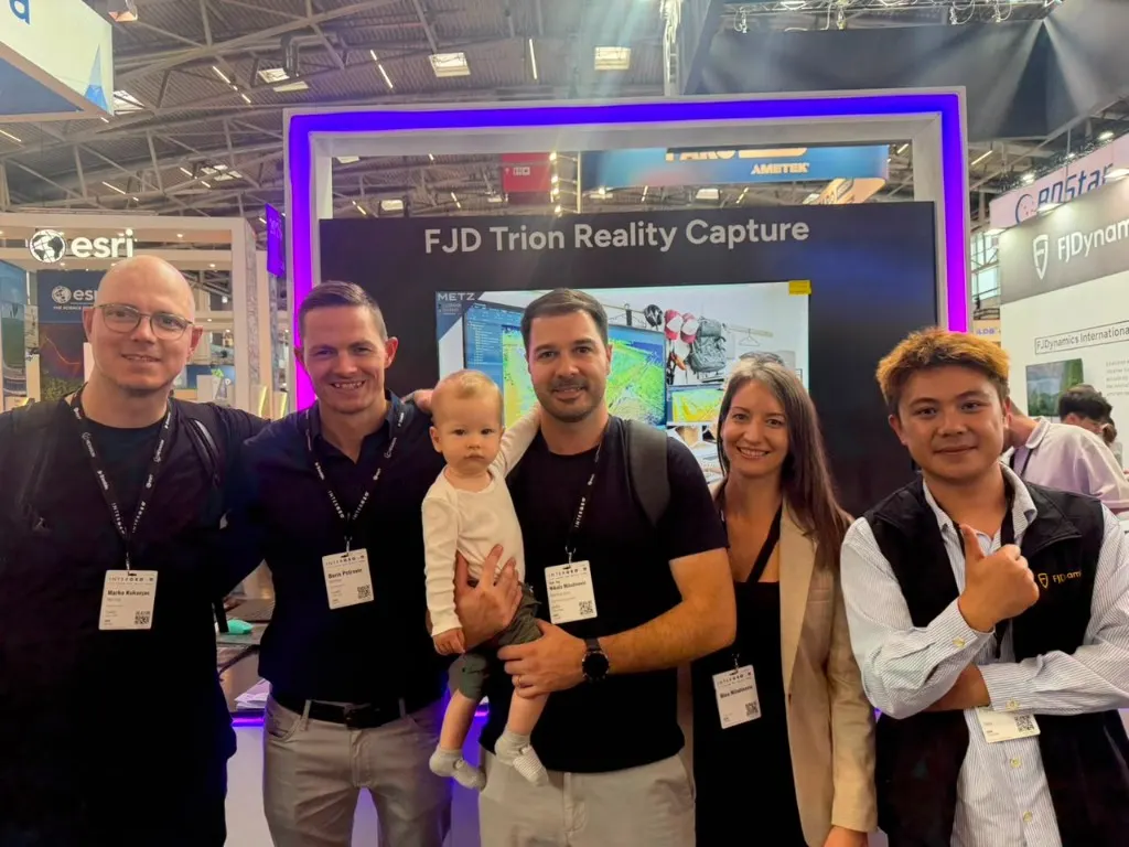
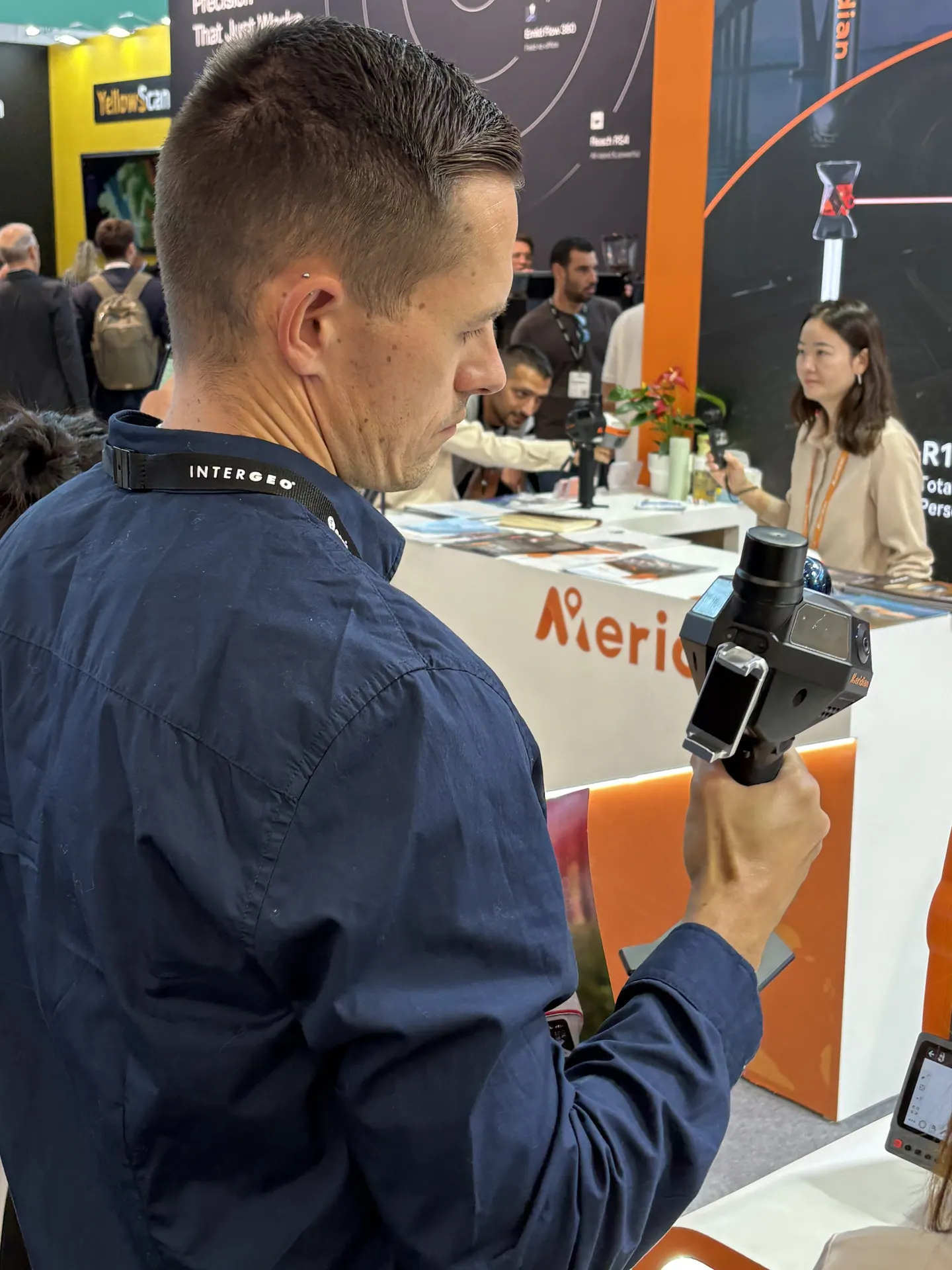
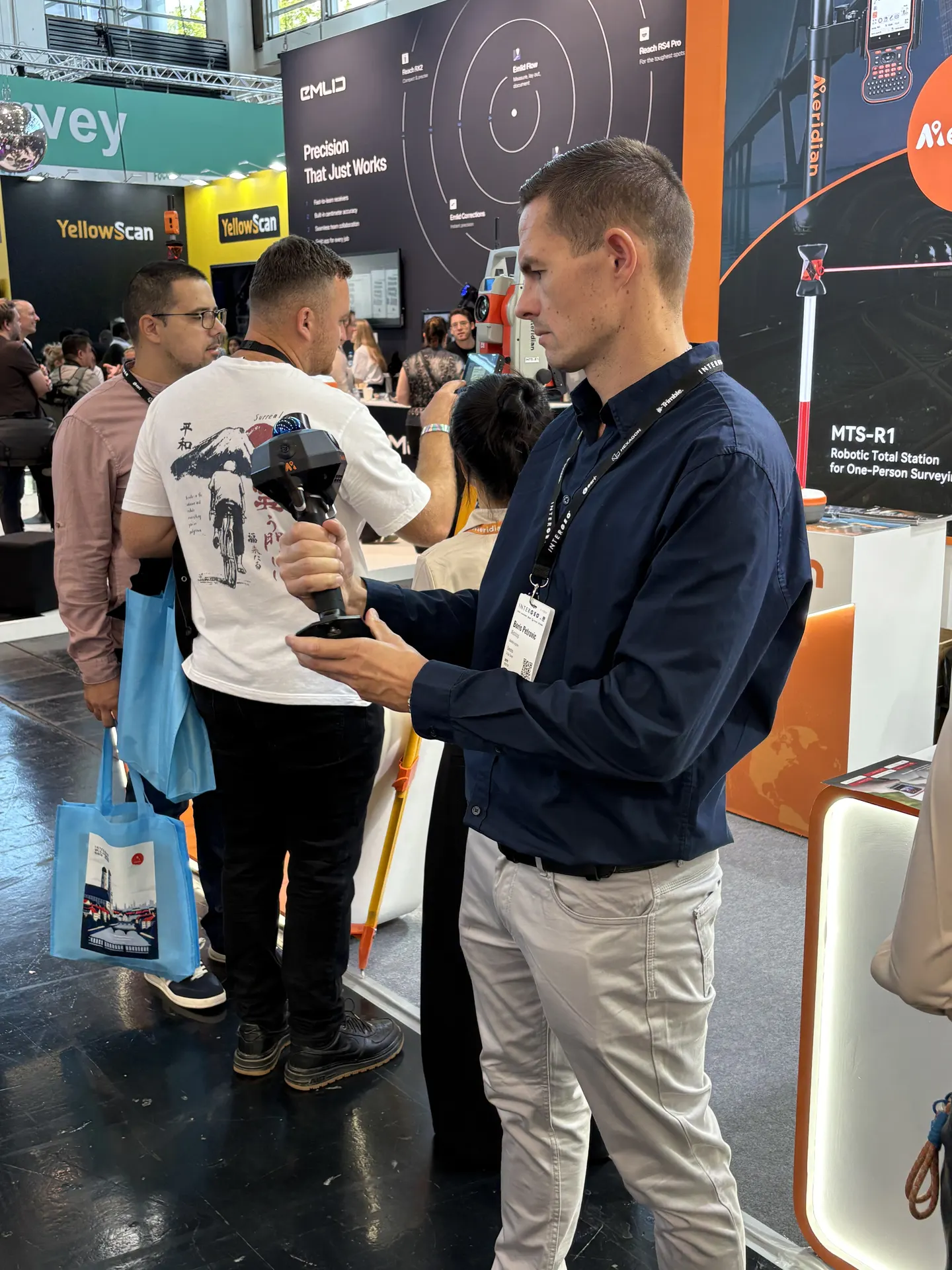
Handheld 3D scanning and SLAM are still the fastest way to capture tight interiors, plants, and as-built conditions. We tried several handheld scanners on the floor — including at Meridian — to compare weight, range, and how quickly a point cloud becomes usable in the field.
Mobile mapping, total stations, and 3D scanning
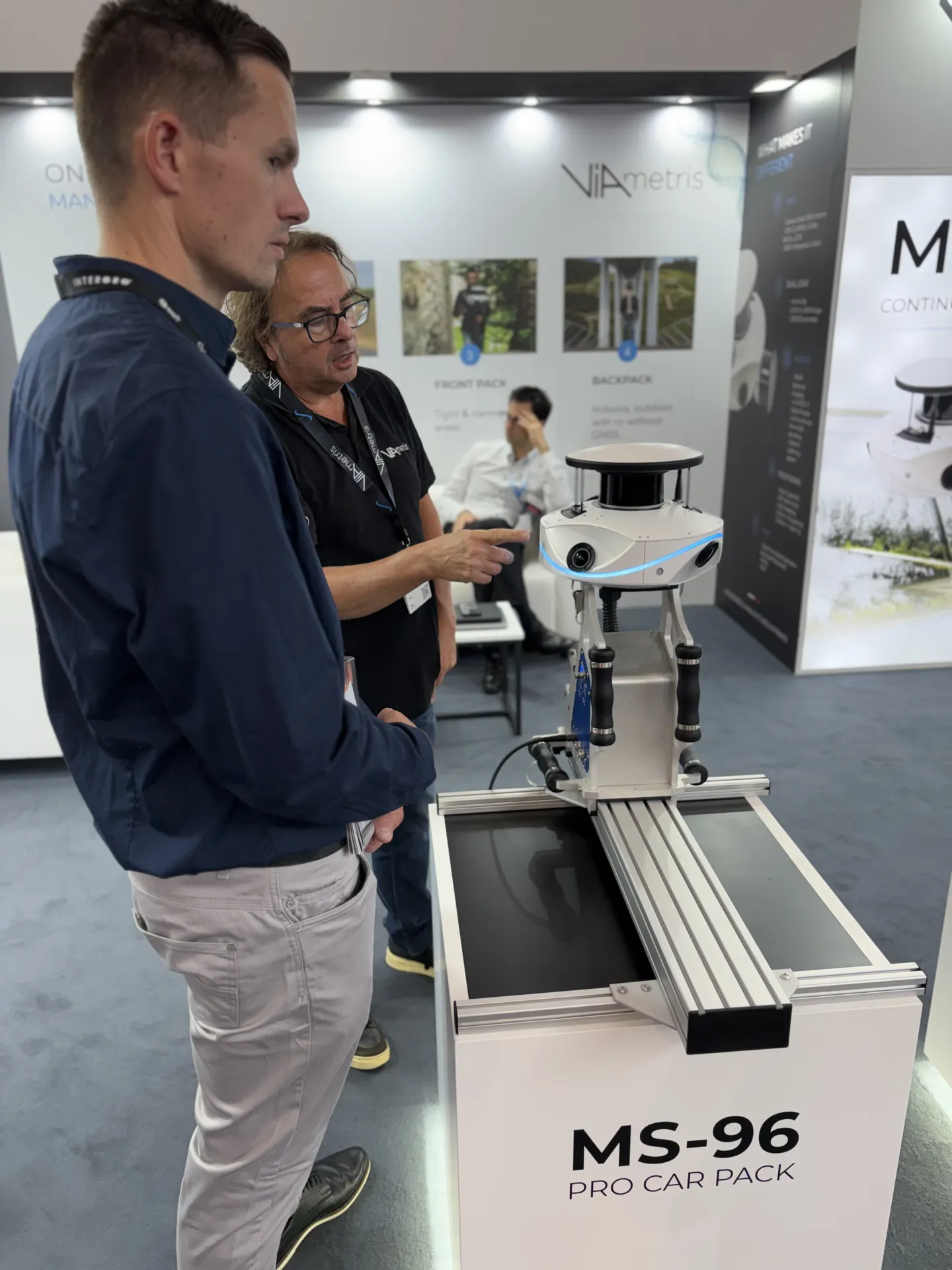
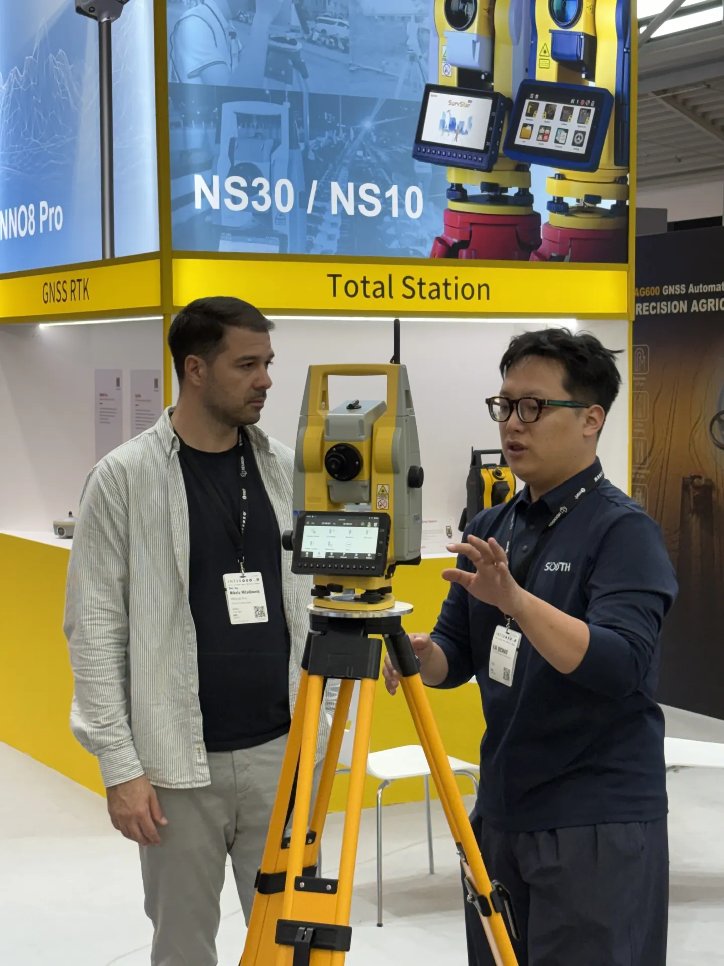
Beyond handheld LiDAR we looked at mobile mapping and classic geodesy. The ViAmetris MS-96 Pro Car Pack showed vehicle-mounted LiDAR. At South we walked through total stations (NS30/NS10) alongside GNSS RTK — the same instrument mix many Nordic survey teams already run.
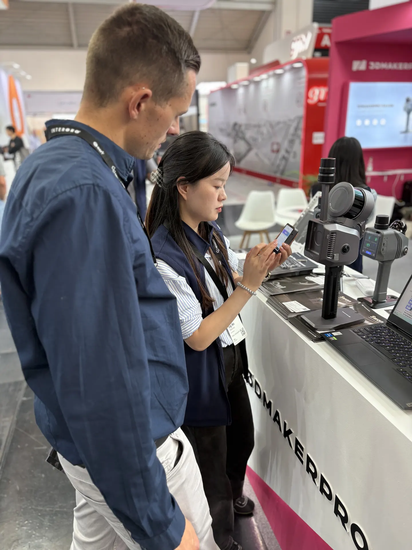
We also looked at close-range 3D scanning at 3DMakerpro — a complement to long-range LiDAR when you need high detail on objects, plant, or heritage work.
LiDAR scanners for Nordic survey work
What we take home from INTERGEO 2026 is not a shelf model, but a clearer picture of which LiDAR scanners sit in real workflows: interiors, infrastructure, forestry, and longer range, tied to the field app, PC post-processing, and web sharing.
- Which Trion model fits your sites: interiors, infrastructure, forestry, or long range
- How the field app, PC post-processing, and web sharing fit together in a LiDAR workflow
- Support, training, and delivery of LiDAR scanners in the Nordics
Dates: 15–17 September 2026. Venue: Messe München, Paul-Henri-Spaak-Str. 18, 81829 Munich. Halls B5, B6, C5, and C6, access via Entrance East.
If we missed you in Munich, or you want to specify a LiDAR scanner for a Nordic project, email info@norrpoint.se or use the contact form. We reply within 1–2 business days.
Talk to Norrpoint
Tell us about the job and we will come back with a recommended configuration, availability, and next steps.