FJD Trion Model PC
Workstation processing for CAD, BIM, and forestry reports
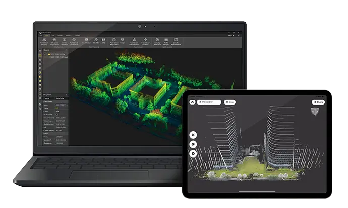
Trion Model on Windows is the desk after the field tablet. Import the usual survey formats, clean and classify the cloud, then leave with contours, volumes, forestry plots, and CAD/BIM files your downstream stack already opens. Forestry, drawing, and mapping modules sit in one application — not a chain of converters.
Capabilities

Diverse data sources
Bring in .las, .e57, .ply, and .pts from FJD scanners or other LiDAR — one project, not a format maze.
Profile analysis
Cut multiple sections through the cloud to check density, gaps, and alignment before you issue drawings.
Auto classification
Separate buildings, trees, and ground so urban, forestry, and mineral work starts from a cleaned model.
Volume calculation
Stockpile and enclosed volumes for yards, quarries, and earthworks — figures you can take into a client meeting.

Auto contour extraction
Vector contours from the registered cloud in one pass, ready for CAD rather than hand-traced polylines.

Forestry parameters
Stem location, height, and crown width from dense stands — batch attributes into a plot report.
Revit plug-in for scan-to-BIM
Keep Trion Model and Revit on the same job instead of exporting, converting, and reloading. The plug-in syncs the cloud so modelling starts on the registered scan, not a stale file copy.
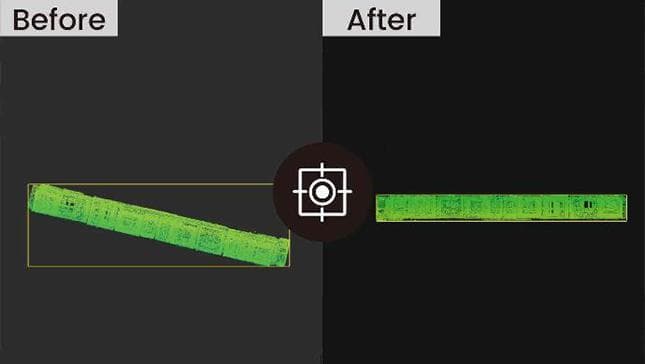
One-click level correction
Raw handheld trajectories often arrive tilted. Level the cloud against the job coordinate system in a single command before classification or drawing extraction.
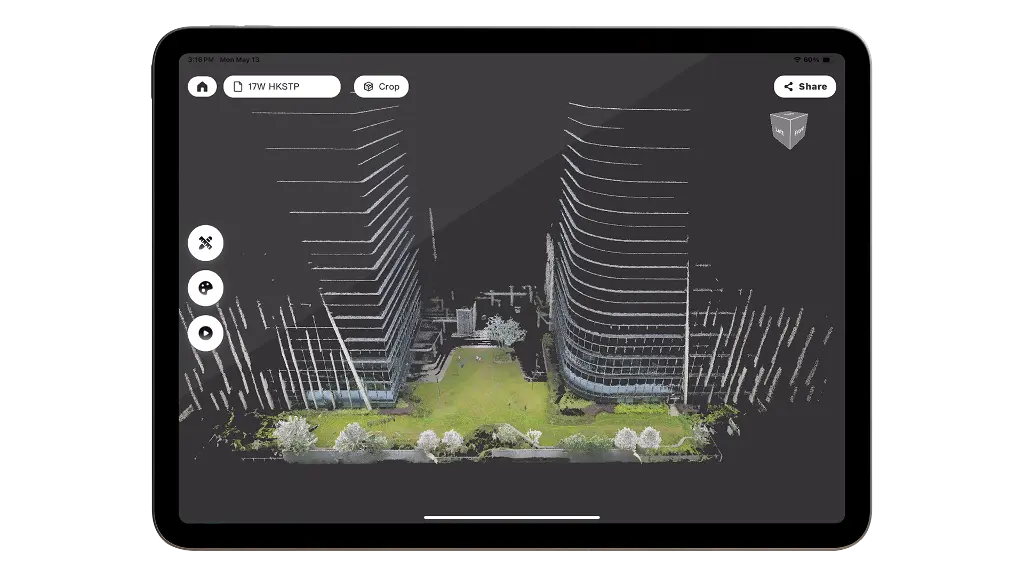
iPadOS when you leave the workstation
The same Trion Model name runs on iPad: open a project, pull the scan from the device or a local file, and process without parking a workstation on site. Useful between plots — the desktop build still owns the heaviest classification and CAD export.
View in the App Store
Denser colour, faster hand-off
Desktop GPUs push smoother, higher-resolution colourization than a field tablet. When the cloud is finished, share the model and fly-throughs so a project manager sees coverage the same day — not a week later.
Applications

Residential real estate
Walk a buyer or architect through a 3D tour of the unit or façade instead of a flat photo set.

Travel and hospitality
Give operators a spatial preview of rooms and public areas so layout decisions happen before a site visit.
Commercial real estate
Let asset teams measure and review how a floor plate actually sits — not how the last drawing said it sits.

Architecture, engineering & construction
Risk reviews, design coordination, and scan-to-CAD/BIM files from the same registered cloud.
Frequently asked questions
Build your complete scanning workflow
Pair FJD Trion Model PC with the right FJDynamics scanner and local support.