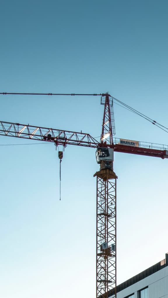
Architecture, engineering and construction
One walk through the site captures structure, services, and slabs as one shared record. Use it for scan-to-BIM, quantities, and checks against the drawing.
Read articleIndustries
LiDAR is not an industry — it is a way to bring the site home. These are the settings we specify FJDynamics scanners for in the Nordics, written by Norrpoint.
One walk through the site captures structure, services, and slabs as one shared record. Use it for scan-to-BIM, quantities, and checks against the drawing.
Read article
Scan the entire room in one visit. Give designers in every city exact measurements for walls, niches, and ceiling heights.
Read article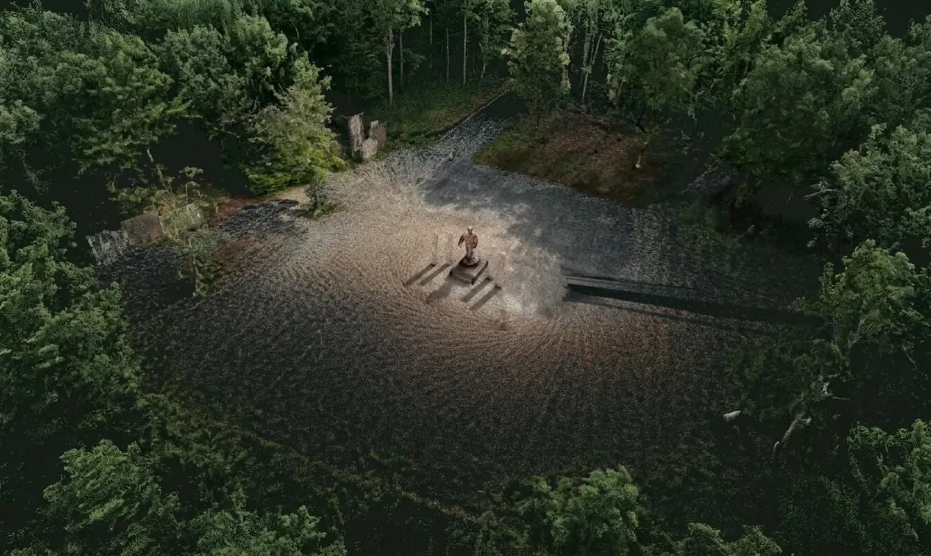
Under the canopy, where GPS drops out. A walk around a stem or through a stand leaves diameter, height, and terrain you can measure later.
Read article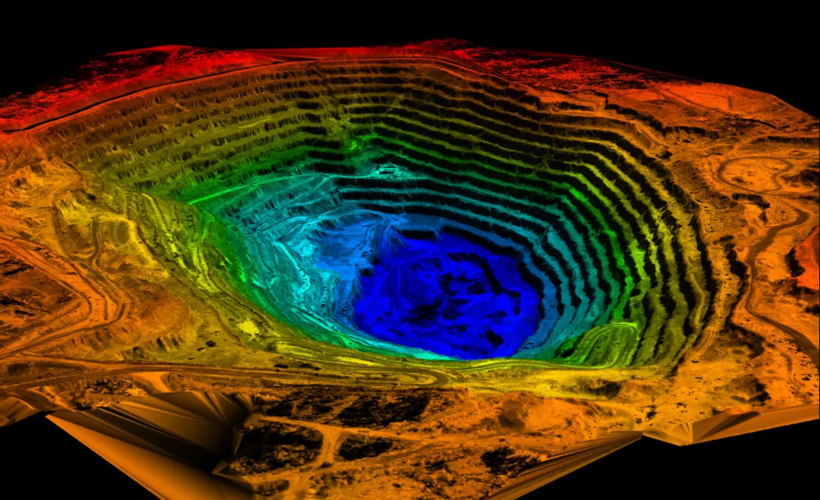
Rapid 3D mapping of stockpiles and mine shafts. Measure on the walk without setting up tripods or waiting for flight clearance.
Read article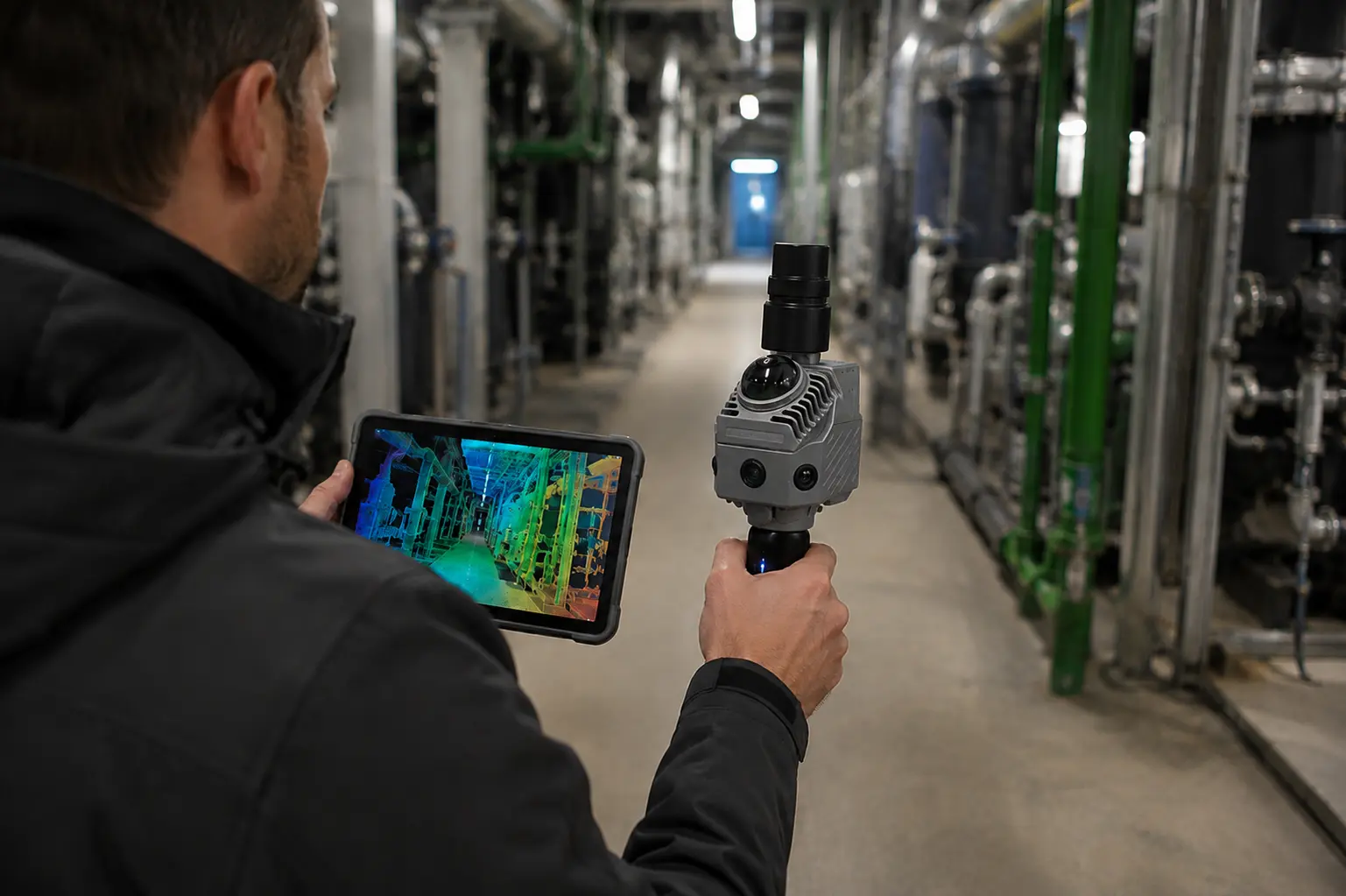
Digitally lock and secure the scene before clean-up, creating a permanent 3D record for future analysis and legal proceedings. Use it for investigation, insurance, and court.
Read article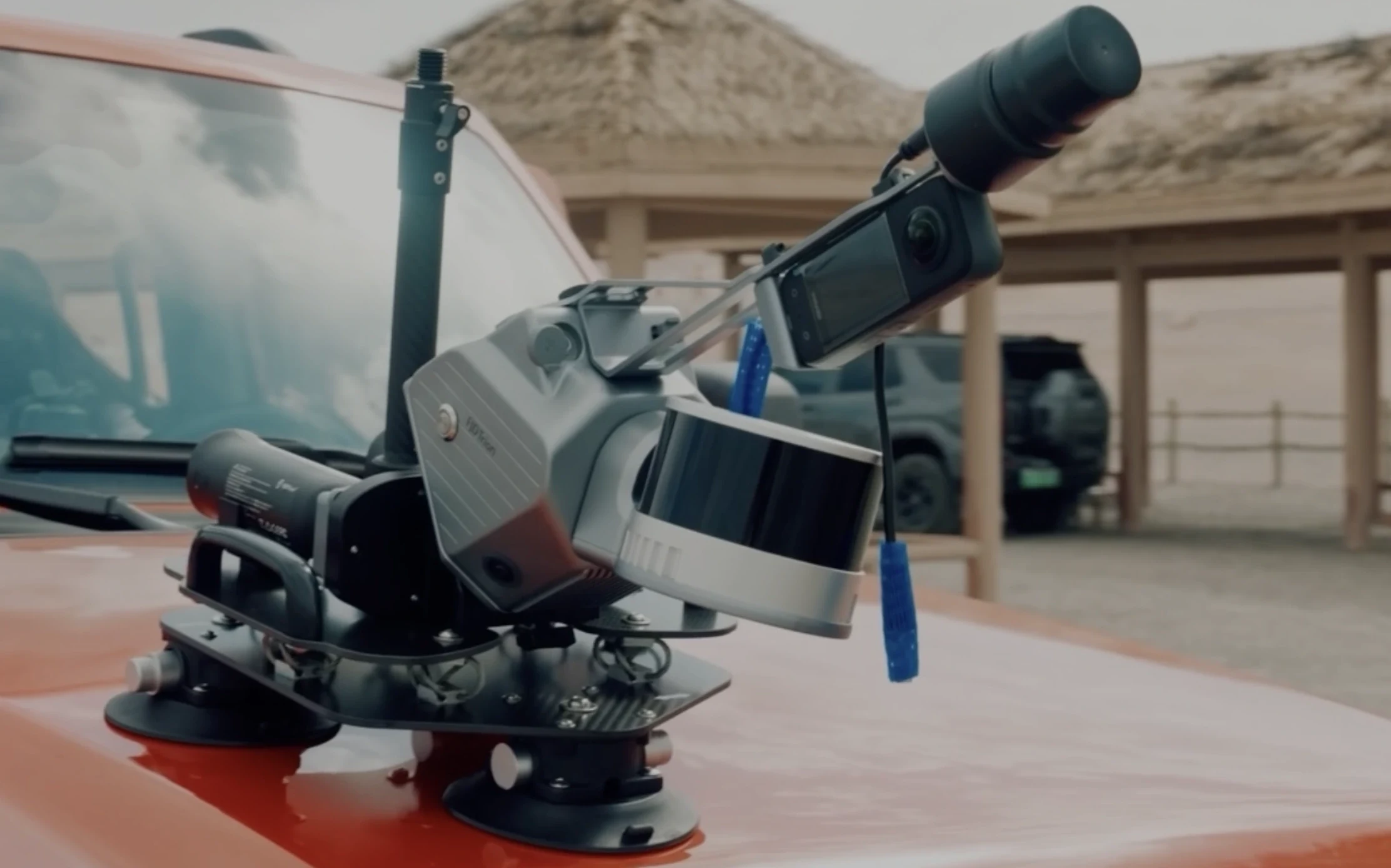
Scan power infrastructure into 3D point clouds to quickly verify drawings. Mount to a pole, vehicle, or carry on foot.
Read article
Capture 3D levels, slopes, and tree crowns for true construction data—far beyond a simple flat drone photo.
Read articleCapture as-built farm layouts to plan rebuilds, robotic systems, and ventilation with zero guesswork.
Read article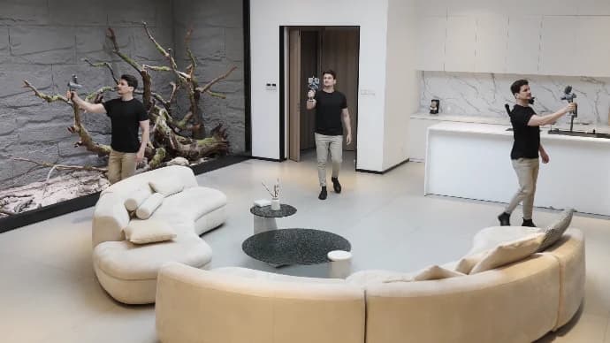
Capture real-world dimensions on one visit to accurately price robot fleets and cleaning contracts.
Read article