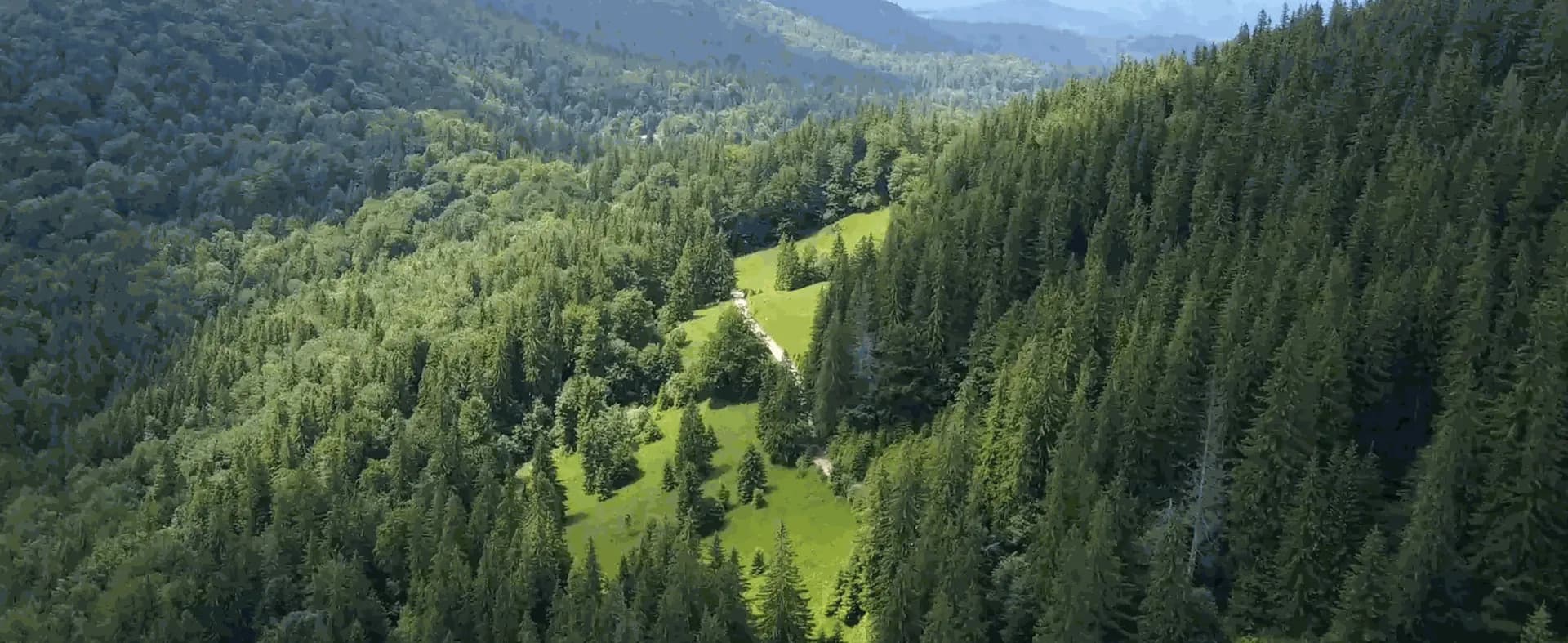
For Bogdan Congra, founder of Forest Design in Romania (2004), forestry still starts with familiar field tools: corers, prisms, tapes, and professional judgement. In a complex forest, separate measurements do not always describe the whole setting around a tree, a log, or a stand.
The aim is not to throw away traditional knowledge. It is to add an objective digital record that can be reviewed, measured, and used after the field day.
Under the canopy, in primary forest
Handheld LiDAR from the Trion line — including the FJD Trion S1 and FJD Trion V4e — lets the team walk the forest and bring the surroundings back. Bogdan describes the workflow as a few hours in the field, then a LAS file, density maps, and GIS with qualitative information on top.
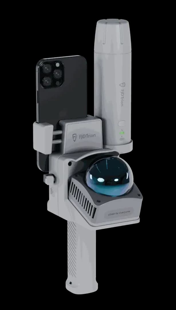
- A log: 10–20 seconds to cover the whole object
- An ancient tree with the V4e: one walk around in under a minute, then a record that stays
- Hundreds to thousands of scans without the device becoming a barrier
- Tests in Romanian primary forest — the setting Bogdan calls the hardest forest ecosystem he knows
The field app shows where the operator is while scanning and does not need a long course to start. Support and software updates are what keep the scanner in ordinary forestry work instead of treating it as a stand-alone gadget.
Summarised from a customer story published by FJD Trion. Contact Norrpoint to specify the V4e or S1 for forestry in the Nordics.
Talk to Norrpoint
Tell us about the job and we will come back with a recommended configuration, availability, and next steps.