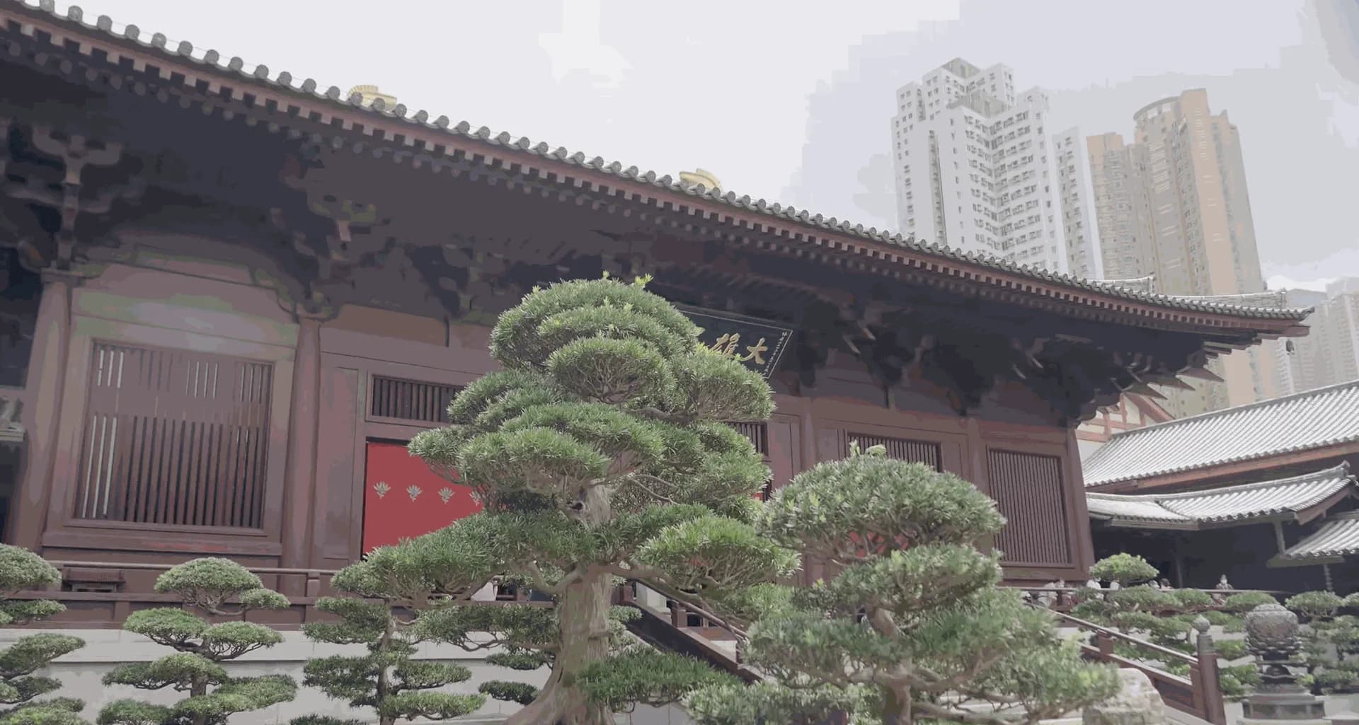
A park or golf course looks clear from the air until you need the ground model under the crowns, a slope against a path, or how a tree leans toward a playground. Then you need a scanner that walks.
A complement to the drone, not a replacement
The P2 and V4e take avenues, ravines, and woodland where a UAV is restricted or the canopy hides the ground. You get a surface, stems, and a file for the landscape architect and the crew — the same need as in the Hong Kong case.
- A ground model for cut, drainage, and paving
- Trees and shrubs as volume, not only dots on a map
- A check after a storm or a park rebuild
Municipalities, cemeteries, and contractors ask the same thing: what is actually on the site? Contact Norrpoint.
Talk to Norrpoint
Tell us about the job and we will come back with a recommended configuration, availability, and next steps.