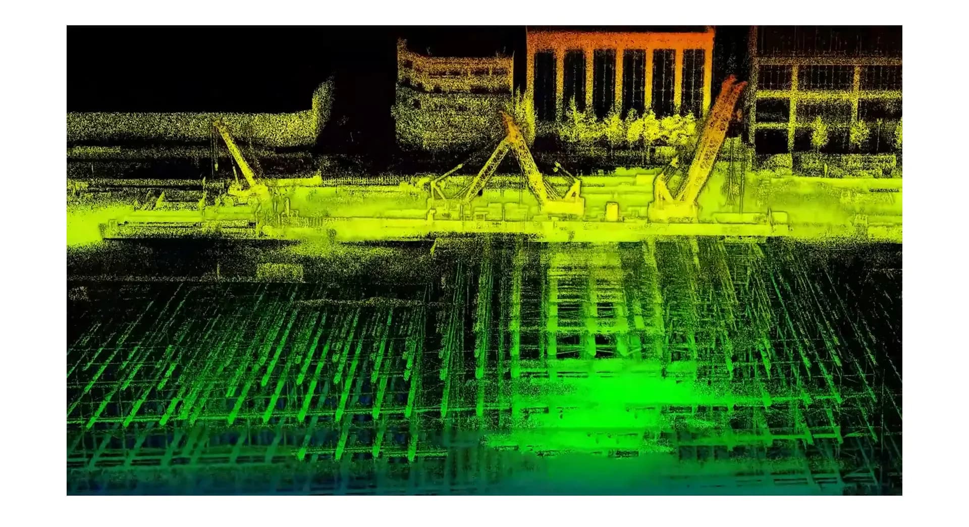
Under Yeongdong-daero in Seoul’s Gangnam district, a 1.2 km underground complex is being built between Bongeunsa and Samsung stations. When it finishes in 2028 it will hold about 21,000 m² of transport hub up to 60 m below ground, with a park on top. The build needs a repeating, precise 3D record.
S2 where GPS does not reach
The local survey team uses the FJD Trion S2 as the main tool in the larger volumes: up to 120 m range and about 1.2 cm accuracy, with SLAM that does not need GNSS. In tight shafts and high ceilings the scanner sat on FJD’s extension pole so staff did not have to climb into the risk zone. A built-in panoramic camera colourised the cloud and gave a live preview.
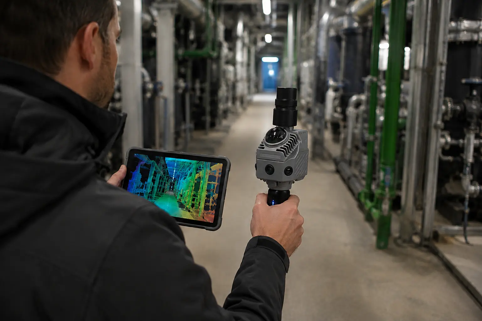
Monthly checks in Trion Model
- Noise filtering of scaffold and temporary walls
- Volume calculation of excavation and fill
- Horizontal and vertical sections into CAD/BIM
- Deformation comparison between scans from different dates
In FJD Trion Model the team could follow the build month by month, from ground level into the deepest sections, and catch deviations from the drawings early. Colourised clouds became a shared record for contractor, engineer, and client — and cut manual measuring in exposed positions.
Summarised from a customer story published by FJD Trion. Contact Norrpoint for tunnels, plants, and GPS-denied sites.
Talk to Norrpoint
Tell us about the job and we will come back with a recommended configuration, availability, and next steps.