Norrpoint

High-precision 3D LiDAR scanners and point cloud software powered by FJDynamics in Sweden.

Norrpoint is operated by Elemtech ABElemtech AB | Org.nr: 559435-4572Glöstorps Röseväg 13, 417 45 Göteborginfo@norrpoint.se

LiDAR Scanners

  • All Scanners
  • FJD Trion P2
  • FJD Trion S2
  • FJD Trion T1

Software

  • FJD Trion Scan Field App
  • FJD Trion Model PC
  • FJD Trion Model Web

Resources

  • Buying guide
  • Industries
  • Case studies
  • Blog

Company

  • Contact Us
  • Support and services
  • Request a quote

© 2026 Norrpoint (Elemtech AB). All rights reserved.

  • Privacy Policy
  • Legal notice
Software
LiDAR Scanners
Knowledge
Contact
  1. Home
  2. /
  3. LiDAR Scanners
  4. /
  5. Handheld LiDAR Scanners
  6. /
  7. S2 Series LiDAR Scanner

FJD

S2 Series LiDAR Scanner

Long-range scanning for large and demanding environments

A higher-capacity scanner for demanding environments where range and robustness matter.

Range
S2 / S2 PRO: 120 m @ 80% reflectivity, 80 m @ 10% reflectivity · S2 MAX: 300 m @ 80% reflectivity, 80 m @ 10% reflectivity
Relative accuracy
1.2 cm
Weight
1.8 kg (excludes battery, external camera, and RTK module)
Speed
S2: 320,000 pts/s · S2 PRO / S2 MAX: 640,000 pts/s
Delivery:
5-8 working days

Price depends on configuration, availability, and delivery destination. Send a request and we will prepare a tailored quote.

Not sure which model? Find the right scanner in 4 questions →

About S2 Series LiDAR Scanner

The FJD S2 Series targets tougher jobsites and larger capture areas. Choose it when you need a more capable scanner for professional survey and mapping programs that push beyond entry-level handheld scanners.

The series is available in three distinct variants to suit your exact needs: the standard S2, the S2 PRO, and the ultra-long range S2 MAX. Compare the detailed specifications for each model below.

Highlights

  • Built for tough jobsite conditions
  • Suited to larger capture areas
  • Professional survey and mapping workflows
  • Configured for demanding programs
See all specifications
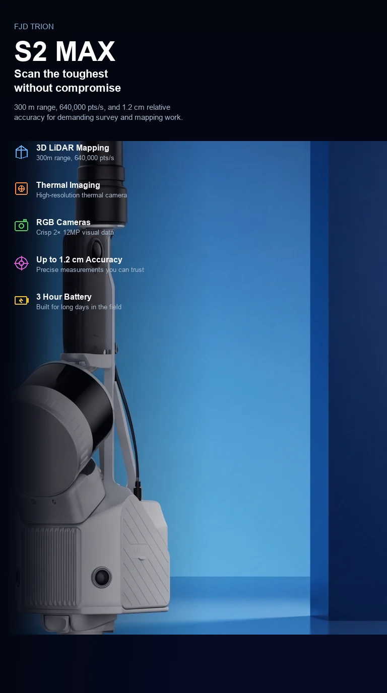
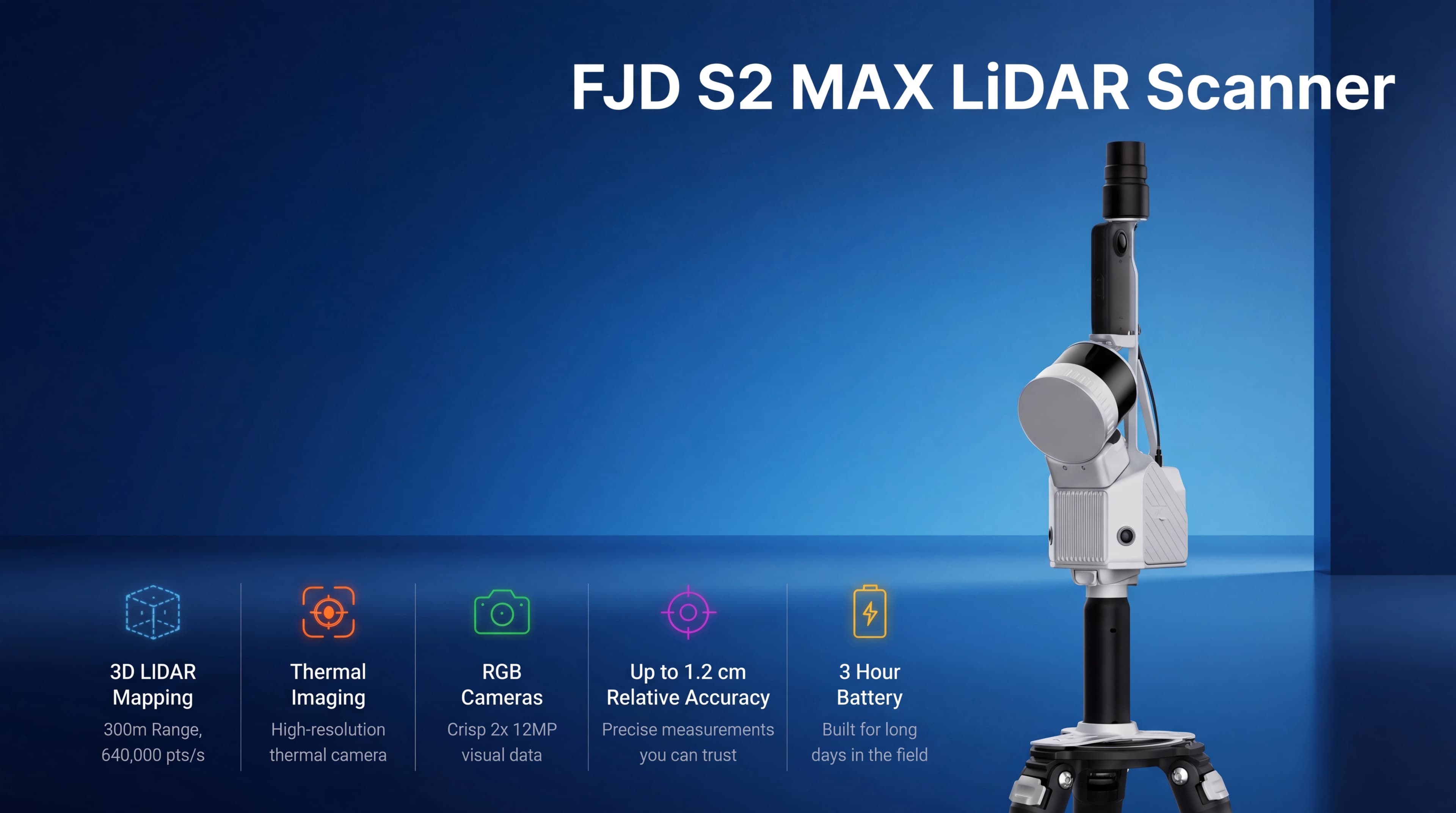
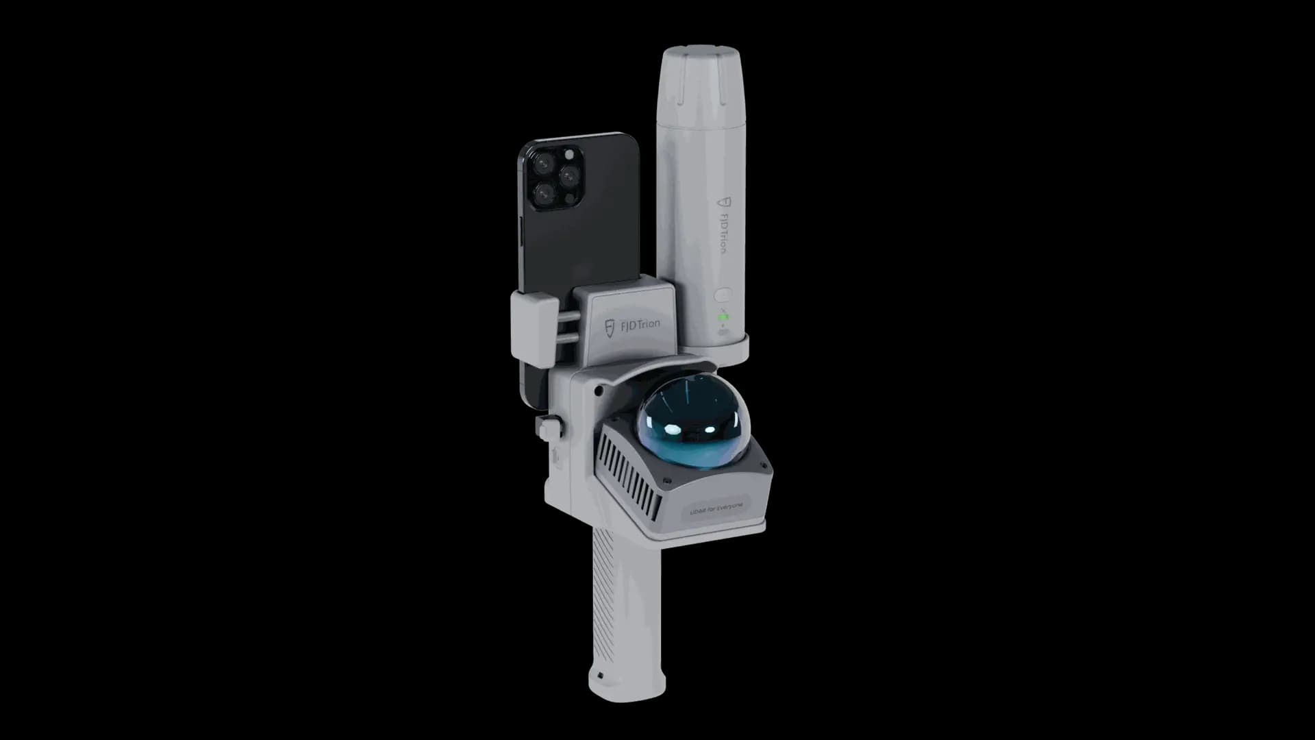
FJD S2 MAX LiDAR Scanner — 300 m range, 640,000 pts/s, thermal imaging, and 1.2 cm relative accuracy.FJD S2 MAX LiDAR Scanner — 300 m range, 640,000 pts/s, thermal imaging, and 1.2 cm relative accuracy.

In Action

From aerial corridors to mobile mapping runs, the S2 Series adapts to the way your team captures reality in the field.

Engineered for demanding environments, these scanners ensure you capture reliable data wherever your project takes you. Whether mounted on a drone, a vehicle, or deployed on the ground, their versatile design adapts seamlessly to any workflow.

Product information
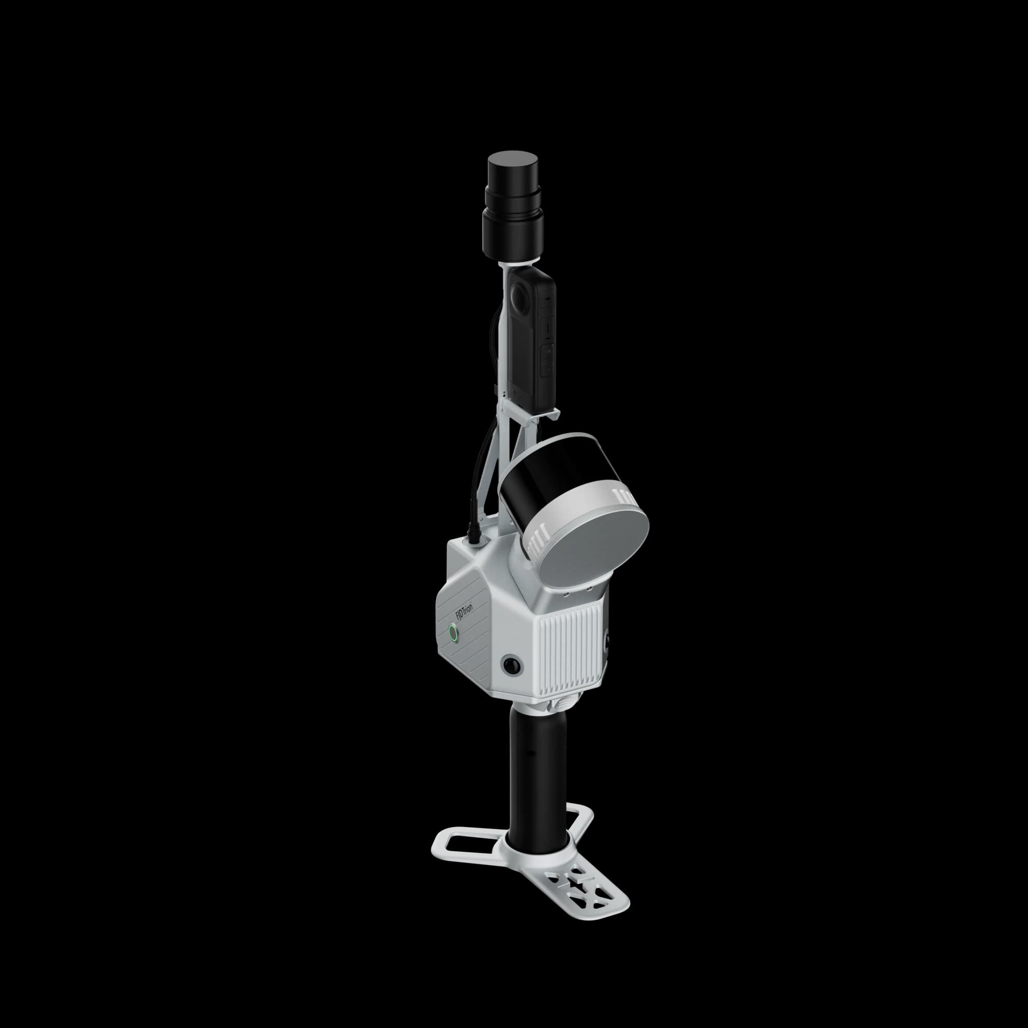
FJD S2 Series LiDAR Scanner product video

Playing this video loads content from YouTube, which may set third-party cookies.

  • Product brochure (PDF, English) →

Frequently asked questions

When range, robustness, or site difficulty exceeds what a lighter handheld workflow is built for. We can help compare during quoting.

This scannerS2 Series LiDAR Scanner
P2 Vision+

LiDAR

Range

S2: 120 m @ 80% reflectivity, 80 m @ 10% reflectivity S2 PRO: 120 m @ 80% reflectivity, 80 m @ 10% reflectivity S2 MAX: 300 m @ 80% reflectivity, 80 m @ 10% reflectivity

40 m @ 10% reflectivity; 70 m @ 80% reflectivity

Speed

S2: 320,000 pts/s S2 PRO: 640,000 pts/s S2 MAX: 640,000 pts/s

200,000 pts/s

Channels

S2: 16 S2 PRO: 32 S2 MAX: 32

—

Safety level

Class 1 / 905 nm, eye safety

Class 1, eye safety

Hyperdense+

—

Yes

Continue scanning

—

Yes

FOV

360° × 270°

360° × 59°

Camera

Visual SLAM

Yes

Yes

FOV (side camera)

—

280°×149°

Resolution

2 × 12 MP

2 MP

Resolution (side camera)

—

2 × 48 MP

Image export

Yes

Yes

Image format

.jpg

.jpg

System Parameters

Relative accuracy

1.2 cm

—

Absolute accuracy

3 cm

—

Weight

1.8 kg (excludes battery, external camera, and RTK module)

700 g (excl. battery and thermal imaging camera); 980 g (incl. battery and thermal imaging camera)

Size

107 × 118 × 398 mm (including base and battery)

110 × 106 × 280 mm

Ingress protection

—

IP 54

Operating temperature

−10°C to 50°C

−20°C to 50°C

Storage

512 GB (1 TB expandable)

512G (1TB expandable)

Battery life

3 h (with 1 set of 2 batteries)

4H (with 1 set of 2 batteries, incl. thermal camera)

Power consumption

25 W

≤0.55 W

Power supply

10.8 V, 3 A

DC handheld battery

Data export

WiFi, USB Type-C, USB Type-A

Wireless network, USB Type-C, USB flash disk

Point cloud format

.las / .ply / .pts / .e57

.las / .ply / .pts / .e57

GNSS

RTK accuracy

H: 8 mm + 1 ppm RMS; V: 15 mm + 1 ppm RMS

—

Satellite constellation

BDS: B1I / B2I / B3I / B1C / B2a / B2b; GPS: L1 C/A / L1C / L2P (Y) / L2C / L5; GLONASS: G1 / G2 / G3; Galileo: E1 / E5a / E5b / E6; QZSS: L1C/A / L1C / L2C / L5

—

PPS

Yes

—

This scannerS2 Series LiDAR Scanner
P2 Vision+
LiDAR
RangeS2: 120 m @ 80% reflectivity, 80 m @ 10% reflectivity S2 PRO: 120 m @ 80% reflectivity, 80 m @ 10% reflectivity S2 MAX: 300 m @ 80% reflectivity, 80 m @ 10% reflectivity40 m @ 10% reflectivity; 70 m @ 80% reflectivity
SpeedS2: 320,000 pts/s S2 PRO: 640,000 pts/s S2 MAX: 640,000 pts/s200,000 pts/s
ChannelsS2: 16 S2 PRO: 32 S2 MAX: 32—
Safety levelClass 1 / 905 nm, eye safetyClass 1, eye safety
Hyperdense+—Yes
Continue scanning—Yes
FOV360° × 270°360° × 59°
Camera
Visual SLAMYesYes
FOV (side camera)—280°×149°
Resolution2 × 12 MP2 MP
Resolution (side camera)—2 × 48 MP
Image exportYesYes
Image format.jpg.jpg
System Parameters
Relative accuracy1.2 cm—
Absolute accuracy3 cm—
Weight1.8 kg (excludes battery, external camera, and RTK module)700 g (excl. battery and thermal imaging camera); 980 g (incl. battery and thermal imaging camera)
Size107 × 118 × 398 mm (including base and battery)110 × 106 × 280 mm
Ingress protection—IP 54
Operating temperature−10°C to 50°C−20°C to 50°C
Storage512 GB (1 TB expandable)512G (1TB expandable)
Battery life3 h (with 1 set of 2 batteries)4H (with 1 set of 2 batteries, incl. thermal camera)
Power consumption25 W≤0.55 W
Power supply10.8 V, 3 ADC handheld battery
Data exportWiFi, USB Type-C, USB Type-AWireless network, USB Type-C, USB flash disk
Point cloud format.las / .ply / .pts / .e57.las / .ply / .pts / .e57
GNSS
RTK accuracyH: 8 mm + 1 ppm RMS; V: 15 mm + 1 ppm RMS—
Satellite constellationBDS: B1I / B2I / B3I / B1C / B2a / B2b; GPS: L1 C/A / L1C / L2P (Y) / L2C / L5; GLONASS: G1 / G2 / G3; Galileo: E1 / E5a / E5b / E6; QZSS: L1C/A / L1C / L2C / L5—
PPSYes—
View P2 Vision+

Local support

Need help choosing a configuration?

Talk to Norrpoint about S2 Series LiDAR Scanner, your site conditions, and required outputs.

  • Nordic sales coverage
  • Expert configuration support
  • Official quotation available
Contact sales

Explore the range

Related scanners

Compare other FJDynamics LiDAR scanners.

FJD · Handheld LiDAR Scanners

P2 Vision+

LiDAR, RGB, and thermal data in the same 3D dataset
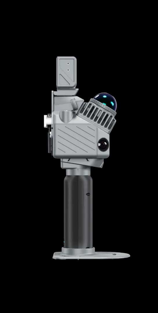
  • RGB-thermal linkage for richer scene understanding
  • P2 Vision+ or Vision+ Max — quote the thermal resolution you need
  • Vision+ Max: 640 × 512 thermal imaging with 48°×39° FOV

Handheld LiDAR with RGB-thermal linkage — available as P2 Vision+ or Vision+ Max with higher thermal resolution and wider FOV.

View details

FJD · Handheld LiDAR Scanners

V4e LiDAR

Lightweight LiDAR scanner for straightforward 3D documentation
  • CLASS 1 eye-safe laser (905 nm)
  • Relative accuracy 1 cm · absolute 3 cm (post-processed)
  • Detection range up to 50 m (90% reflectivity)

An accessible entry point to professional LiDAR capture for survey, construction, and mapping teams.

View details

Help choosing

Not sure which scanner you need?

Answer four questions in the buying guide and we'll suggest the scanners that fit your jobs best.

Buying guide →Find your scanner in 4 questions

Ready to specify

Get a setup that fits the job

Tell us where you scan and what you need to deliver. We reply with a recommended configuration, availability, and pricing.

Request a Quote