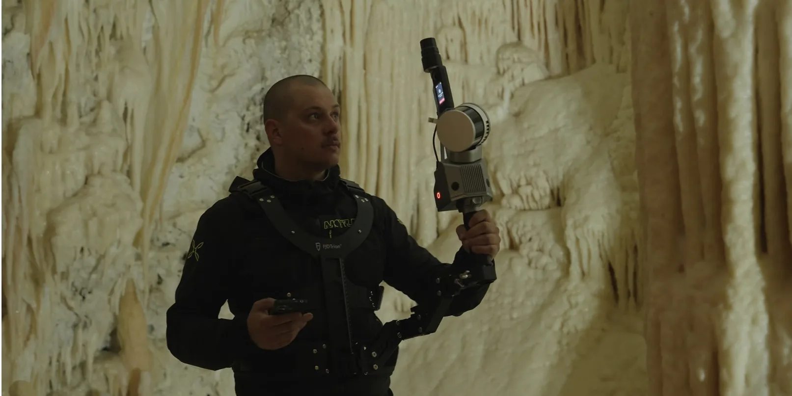
Under the Apennines in central Italy lie the Frasassi caves — limestone rooms shaped by water over millions of years, including the well-known Candeline Hall. Riccardo Gosetti of ROGO Technologies led a scan of part of the cave with the FJD Trion S2. Geologist Fabrizio Bendia from the University of Camerino joined the documentation and interpretation.
Mapping where a tripod does not fit
S2 SLAM builds the path while the operator walks: 120 m range, 320,000 points per second, about ±1.2 cm, and two 12 MP cameras that support visual tracking. No extra targets or reference network were required. The light handheld form reduced the risk of touching fragile formations, and the short time underground matters in dark, humid air.
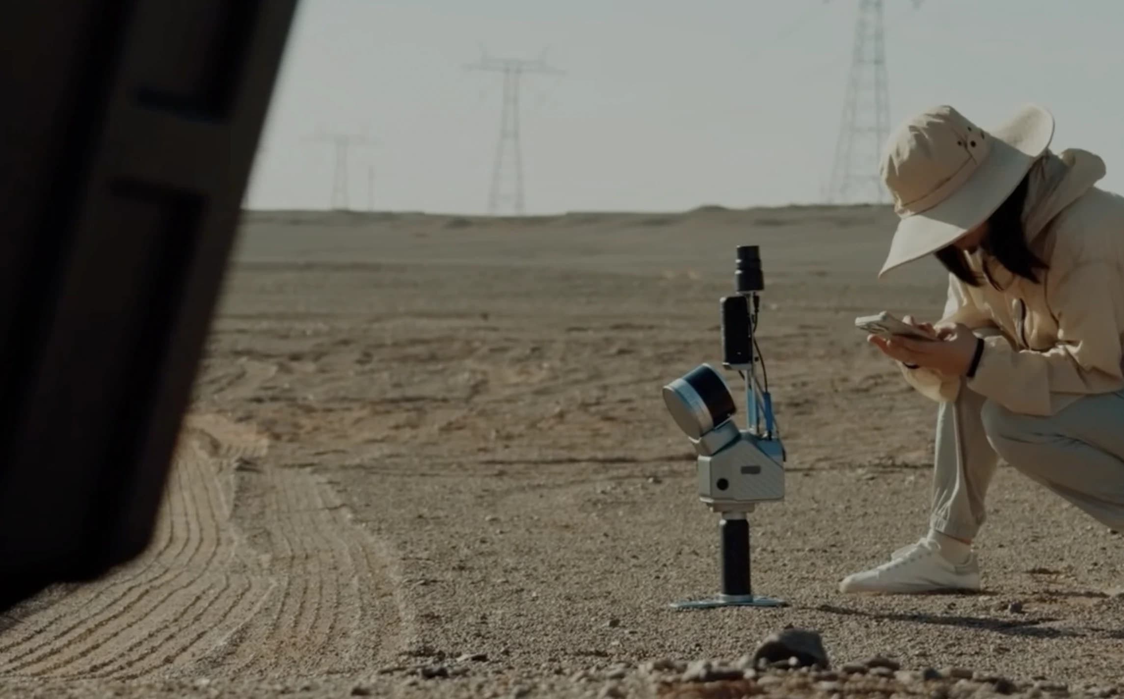
In FJD Trion Model the team extracted sections, elevation profiles, distances, and volumes, and exported LAS, PLY, and E57. The digital twin can track geological change, support research, and show the cave without loading the site.
Summarised from a customer story published by FJD Trion. Contact Norrpoint for the S2 in closed terrain.
Talk to Norrpoint
Tell us about the job and we will come back with a recommended configuration, availability, and next steps.