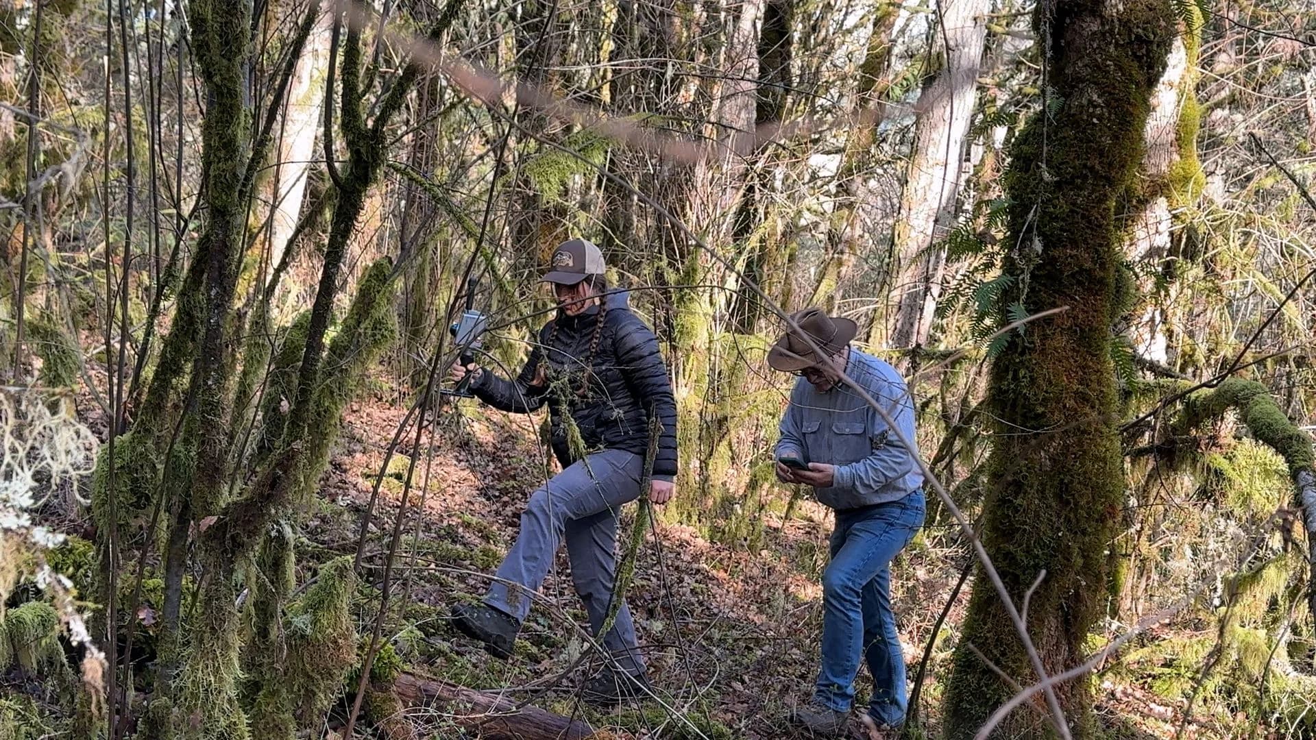
In Oregon’s mixed forest — ponderosa pine, white oak, and vine maple — Bogdan Strimbu, associate professor of forest engineering at Oregon State University, works on inventory and growth modelling. LiDAR was not love at first sight. It took time to see patterns in point clouds that photogrammetry did not give him.
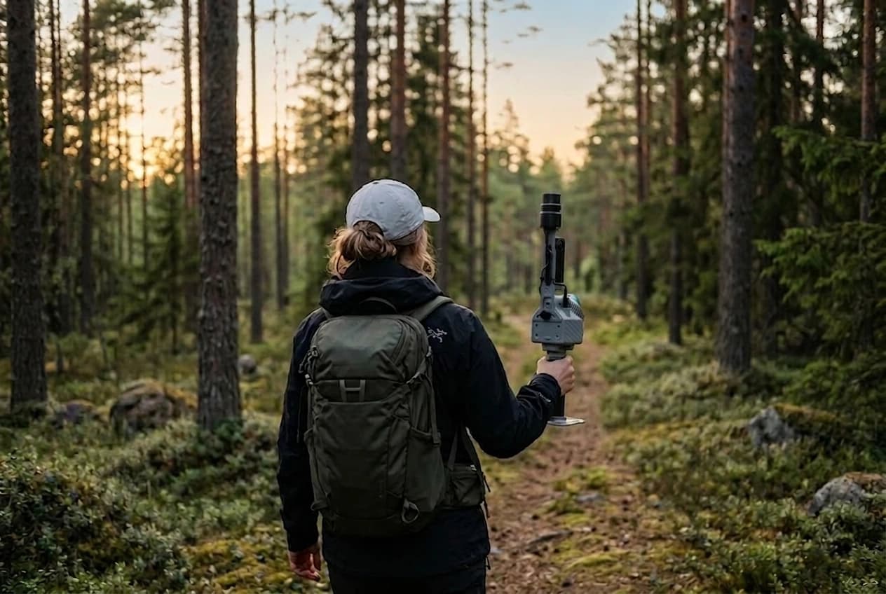
Classic inventory sends a two-person crew to measure diameters and heights. They cover a limited area in a day. One operator with handheld LiDAR — here the FJD Trion P2 and FJD Trion S2 — takes a 3D snapshot of the stand: crowns, stems, and understorey in one dataset.
Support that actually solves the problem
Strimbu has run sensors from several makers. What decided him for FJD Trion was replies within 24 hours and answers that did not start by selling another box. In FJD Trion Model the team also walked through forestry tools with FJD project engineers.
The next step he describes is merging data below and above the canopy — terrestrial LiDAR co-registered with airborne or satellite sources — so today’s scan becomes material for later analysis. His line: LiDAR captures today for the future.
Summarised from a customer story published by FJD Trion. Contact Norrpoint for forestry configurations in the Nordics.
Talk to Norrpoint
Tell us about the job and we will come back with a recommended configuration, availability, and next steps.