FJD
V100F
Surveying without limits
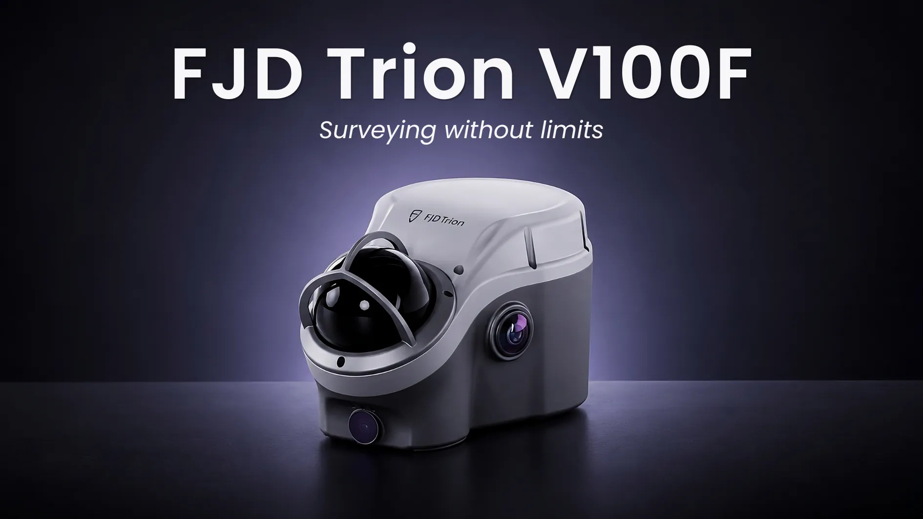
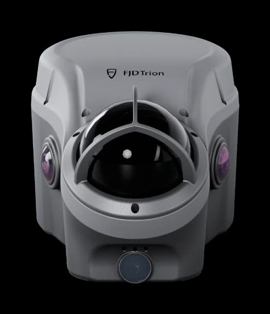
The FJD Trion V100F combines GNSS, LiDAR, cameras, and IMU for survey work between open sky and obstructed ground. Surveyors capture points, lines, and surfaces, then process them in FJD Trion Model.
SureFix holds ±5 cm within 20 m of open sky. Points picked from photos are typically ±5 cm at 20 m, and RTK is 8 mm + 1 ppm horizontal.
- Delivery:
- 5-8 working days
Price depends on configuration, availability, and delivery destination. Send a request and we will prepare a tailored quote.
- Nordic sales coverage
- Expert configuration support
- Official quotation available
Highlights
- Integrated GNSS, LiDAR, cameras, and IMU
- SureFix typical accuracy ±5 cm within a 20 m radius
- Non-contact LiDAR survey ±5 cm @ 20 m
- 32-line LiDAR · 60 m @ 80% reflectivity · FOV 360° × 62°
- RTK H: 8 mm + 1 ppm RMS · V: 15 mm + 1 ppm RMS
- IP65 · IK08 · up to 5 h LiDAR / 22 h RTK rover
In Action
V100F keeps field capture moving as site conditions change, combining positioning and spatial capture in one integrated workflow. Capture survey points, point clouds, images, and data for cross-sections and volume calculations in the field.
Process point clouds, review measurements, perform analysis, and prepare project outputs in FJD Trion Model.
Local support
Need help choosing a configuration?
Talk to Norrpoint about V100F, your site conditions, and required outputs.
Product information
Explore the range
Related scanners
Compare other FJDynamics LiDAR scanners.
FJD · Handheld LiDAR Scanners
S2 Series LiDAR Scanner
Scan the toughest without compromise
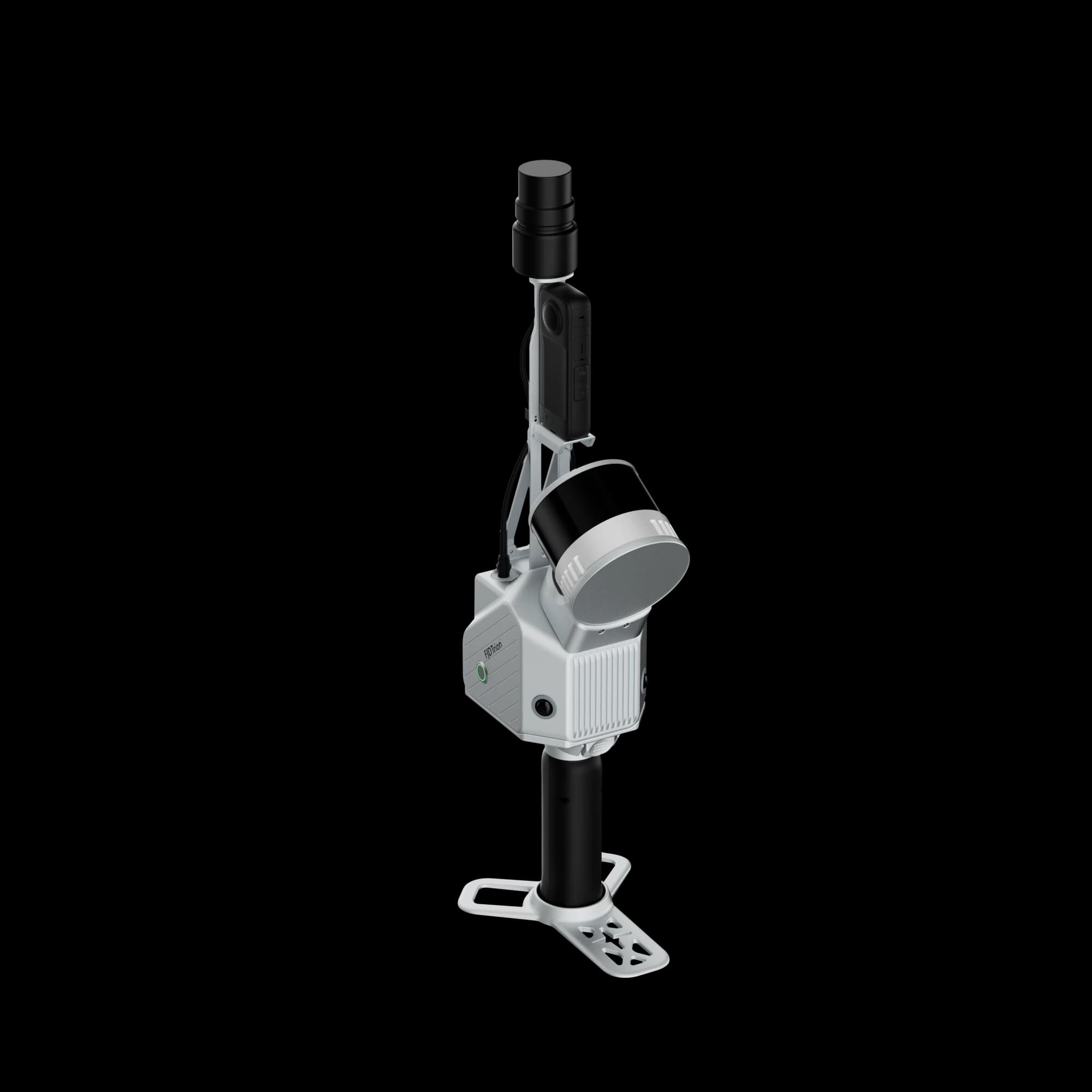
A higher-capacity scanner for demanding environments where range and robustness matter.
FJD · Mobile & Terrestrial LiDAR Scanners
T1
A single scanner across the whole project
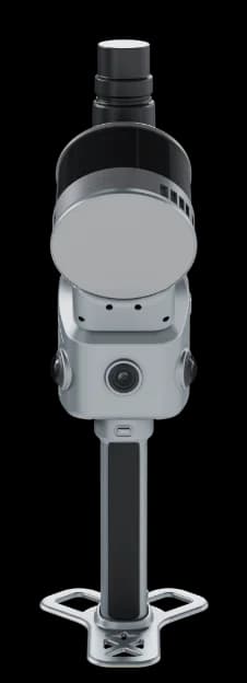
Capture large sites with mobile scanning, switch to tripod mode for higher local accuracy, and combine both in one hybrid LiDAR workflow with FJD Trion T1.