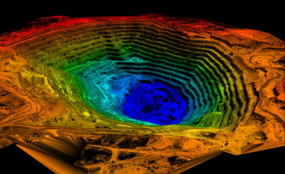
In a quarry and underground, cubic metres, slopes, and clearances are the job. A truck count or a total station at every setup takes time. Where a drone cannot fly — or the roof is in the way — you need something you can carry.
Volume in thirty minutes, a heading without GPS
The FJD Trion S1 measured more than 15,000 m³ of aggregate in 30 minutes in our stockpile case. The same line cut a coal pile from seven hours to 19 minutes. The S2 takes longer headings and shafts where SLAM replaces GNSS, as in the Seoul case.
- Stockpiles and crushers for accounts and purchasing
- Headings, rooms, and shafts without satellites
- Slope and face checks between shifts
Tell us if the job is a quarry, a tunnel, or a yard and we will specify S1 or S2 for that setting. Contact Norrpoint.
Talk to Norrpoint
Tell us about the job and we will come back with a recommended configuration, availability, and next steps.